
DISCREDITING THE FARMER’S ROCK PILE THEORY
Our journey discrediting the theory that cairns located in our area are farmer's rock piles has not been easy.
So, we've looked at similarities among the mounds.


1) Location: we are near the historic Indian Trading Path & between bodies of water.
2) Shape: our cairns tend to be oval or conical.
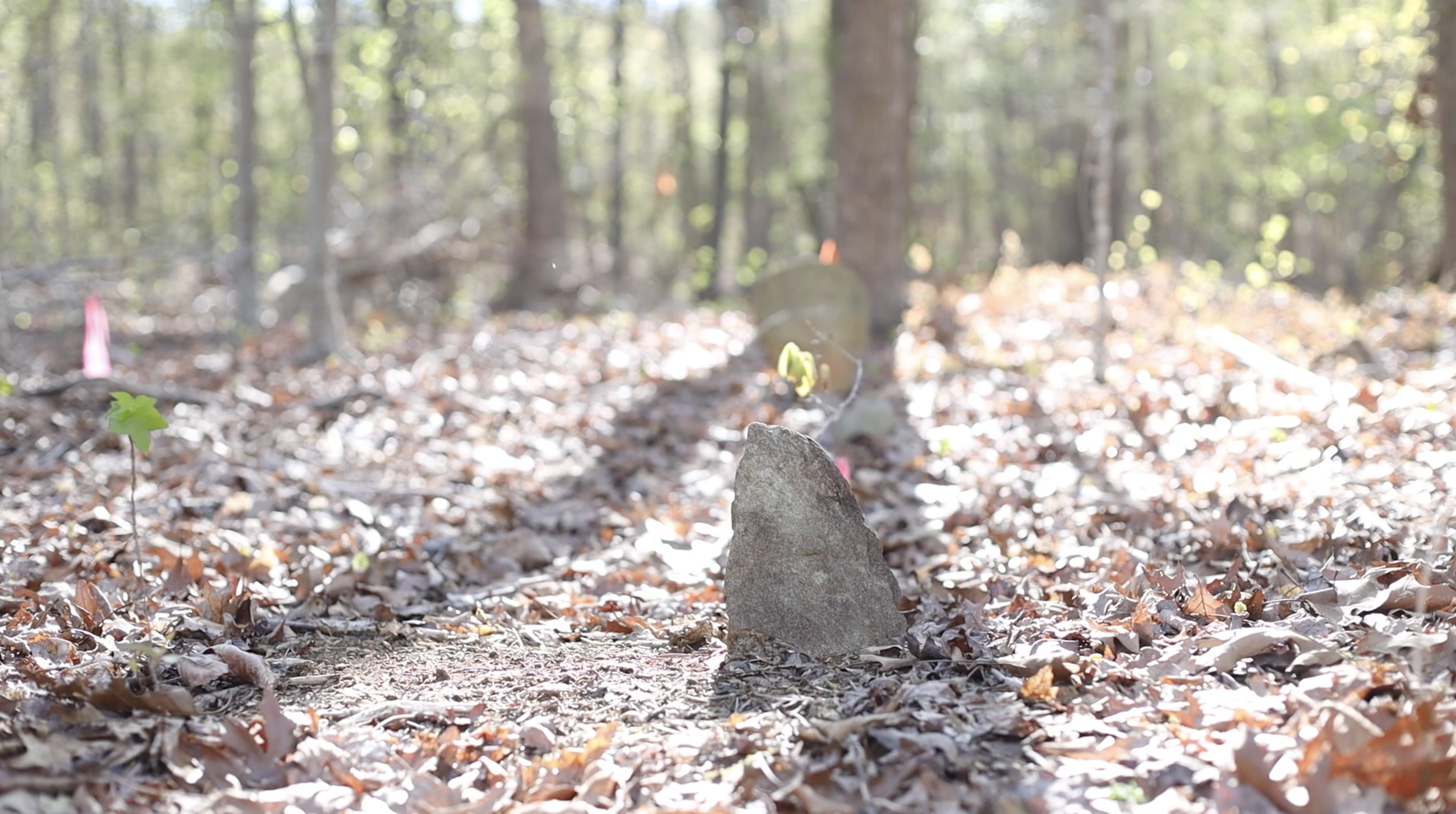
3) Intentional placement of stones: stones placed in a vertical position or wedged between other stones are visible.
4) Proximity to other cairns: Cairns of seven or eight have been observed in a circle or rectangle.
5) Terrain: cairns found along a hillside where it would be difficult to farm.
6) Lack of spillage: stones are neatly arranged without spillage from dumping or pouring.
7) Base stones: Cairns have boulders at its base to maintain the structure.
8) Proximity to artifacts: arrowheads, tomahawks, and a stone axe have been located nearby.
9) Historical record: mounds have been documented in various historical records of North Carolina.
SIMILARITIES

Top view of a disrupted mound. Rock was placed vertically during construction.

An example of an oval shaped mound with a large boulder on top. We have not found large trees growing in the center of mound. This is likely due to the close placement of stones during construction.
Example of vertical & horizontal placement of rocks during the construction of the cairn.